Our modelling techniques
The department uses a range of modelling techniques to understand how our river and groundwater systems behave. Models help predict what will happen in a variety of scenarios, including those that test water sharing, compliance, changing climate impacts, and other factors that affect water availability.
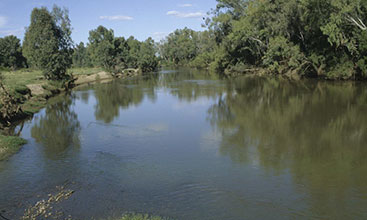
We develop, maintain and use models to understand and assess surface water processes and outcomes.
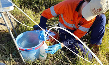
We use computer-based models to better understand groundwater flow systems and aquifer behaviour.
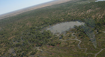
We use modelling to improve our knowledge of salinity, particularly where data is limited.
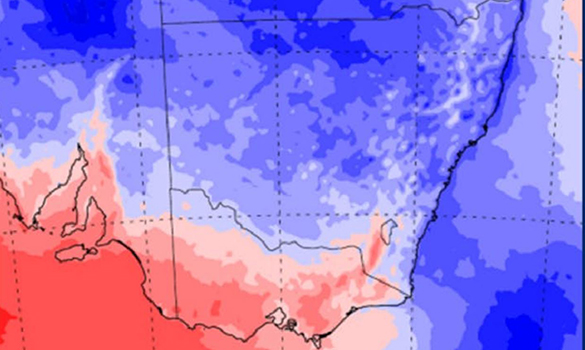
We have improved the climate data we use for strategic water planning to better understand past and future climate risk.