A NSW Government website

Water sharing plan status

Barwon, Darling and West region

Information about water sharing plans for the Barwon, Darling and West region.

Darling River near Wilcannia in New South Wales.

About the region

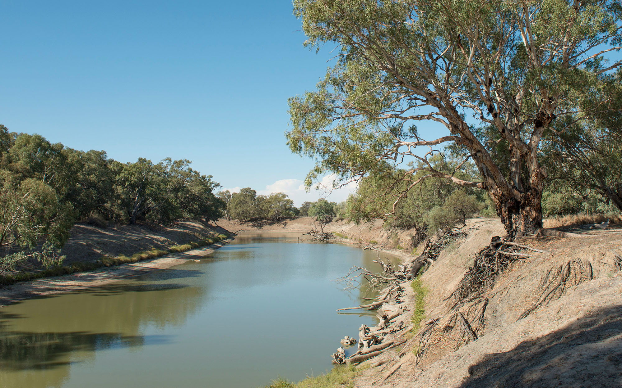
The Barwon, Darling and West region covers a large area of western NSW. Major tributaries to the Barwon–Darling River system include the Intersecting Streams, Border Rivers, Gwydir, Namoi, Castlereagh, and Macquarie rivers. All enter the Barwon–Darling River upstream of the township of Bourke. Downstream of Bourke and further west, the Paroo and Warrego rivers contribute intermittent flows but can provide significant volumes during flood events, raising the duration of high flow events in the Barwon–Darling River.

The region is located within the traditional lands of the Barkandji, Barapa Barapa Budjiti, Euahlayi, Gomeroi/Kamilaroi, Guwamu/Kooma Kunja, Maljangapa, Maraura, Murrawarri, Muthi Muthi, Ngemba, Ngiyampaa, Tati Tati, Wadi Wadi, Weki Weki, Wemba Wemba, Wiradjuri and Yorta Yorta Nations.

The water sharing plans that apply to the surface water and groundwater resources of the Barwon, Darling and West region are listed below.

View all plans

Water Sharing Plan (WSP) Supporting documentation Commence date Cease date Prior Water Sharing Plan and status
NSW Murray and Lower Darling Regulated Rivers Water Sources 2016
  • Status: In force
Changes to the NSW Murray and Lower Darling Regulated Rivers Water Sharing Plan (December 2022)

Compliance with water management principles (December 2022)
July, 2016 June, 2026 This plan has been amended since it commenced. See the NSW legislation site for details.
Darling Alluvial Groundwater Sources 2020
  • Status: In force

Darling Alluvial Groundwater Sources 2020 – Plan map (WSP054_V1)

Darling Alluvial Groundwater Sources 2020 – GDE map (GDE021_V1)

Rule summary sheets

Compliance with water management principles (August 2022)

Outcomes of public exhibition (August 2022)

July, 2020 June, 2030 This plan has been amended since it commenced. See the NSW legislation site for details.
  • Status: Amended

Lower Murray-Darling Unregulated and Alluvial Water Sources 2011

Intersecting Streams Unregulated and Alluvial Water Sources 2011

Barwon–Darling Unregulated and Alluvial River Water Sources 2012

Barwon–Darling Unregulated River Water Source 2012
  • Status: In force (with two year extension)

Barwon–Darling Unregulated River Water Source 2012 – Plan map (WSP022_V2)

Rule summary sheets

Background Document (2012)

Changes to the Barwon-Darling Unregulated Water Sharing Plan (February 2023)

Compliance with water management principles (February 2023)

Outcomes of public exhibition (February 2023)
October, 2012 June, 2025 This plan has been amended since it commenced. See the NSW legislation site for details.
Intersecting Streams Unregulated River Water Sources 2024
  • Status: In force

Intersecting Streams Unregulated River Water Sources 2024 – Plan Map (WSP046_V3)

Intersecting Streams Unregulated River Water Sources 2024 – Wetland map (WET003_V1)

Changes to the Intersecting Streams Unregulated Water Sharing Plan factsheet

Compliance with water management principles factsheet

Status of NRC Review Recommendations factsheet

Outcomes of public exhibition

July, 2024 June, 2034

Intersecting Streams Unregulated River Water Sources 2011

North Western Unregulated and Fractured Rock Water Sources 2024

  • Status: In force

North Western Unregulated and Fractured Rock Water Sources 2024 – Plan Map (WSP043_V1)

North Western Unregulated and Fractured Rock Water Sources 2024 – High Priority Groundwater Dependent Ecosystem Map (GDE039_V1)

North Western Unregulated and Fractured Rock Water Sources 2024 – Wetland Map (WET001_V1)

Changes to the North Western water sharing plan fact sheet (July 2024)

Compliance with water management principles fact sheet (July 2024)

Status of NRC recommendations fact sheet (July 2024)

Outcomes of public exhibition

July, 2024 June, 2034

North Western Unregulated and Fractured Rock Water Sources 2011

NSW Murray–Darling Basin Fractured Rock Groundwater Sources 2020
  • Status: In force

Murray Darling Basin Fractured Rock Groundwater Sources 2020 – Plan map (WSP012_V3)

Murray Darling Basin Fractured Rock Groundwater Sources 2020 – GDE Map (GDE024_V3)

Rule summary sheets

Compliance with Water Management Principles (December 2021)

Compliance with Water Management Principles (May 2022)

July, 2020 June, 2030 This plan has been amended since it commenced. See the NSW legislation site for details.

NSW Murray–Darling Basin Fractured Rock Groundwater Sources 2011
NSW Murray–Darling Basin Porous Rock Groundwater Sources 2020
  • Status: In force

Murray Darling Basin Porous Rock Groundwater Sources 2020 – Plan map (WSP013_V2)

Murray Darling Basin Porous Rock Groundwater Sources 2020 – GDE map (GDE023_V1)

Rule summary sheets July, 2020 June, 2030 NSW Murray–Darling Basin Porous Rock Groundwater Sources 2011
NSW Great Artesian Basin Shallow Groundwater Sources 2020
  • Status: In force

NSW Great Artesian Basin Shallow Groundwater Sources 2020 – Plan map (WSP014_V3)

NSW Great Artesian Basin Shallow Groundwater Sources 2020 – GDE map (GDE022_V1)

Rule summary sheets

Changes to the Great Artesian Basin Shallow groundwater plan fact sheet (July 2024)

Compliance with Water Management Principles (July 2024)

July, 2020 June, 2030 This plan has been amended since it commenced. See the NSW Legislation site for details
 
NSW Great Artesian Basin Shallow Groundwater Sources 2011
NSW Great Artesian Basin Groundwater Sources 2020
  • Status: In force

NSW Great Artesian Basin Groundwater Sources 2020 – Plan map (WSP040_V2)

NSW Great Artesian Basin Groundwater Sources 2020 – GDE map (GDE025_V1)

Rule summary sheets

Background document (2020)

Changes to the Great Artesian Basin groundwater plan fact sheet (July 2024)

Compliance with Water Management Principles (July 2024)

July, 2020 June, 2030 This plan has been amended since it commenced. See the NSW Legislation site for details
 
NSW Great Artesian Basin Groundwater Sources 2008

Lower Murray-Darling Unregulated River Water Source  2024

  • Status: In force

Lower Murray-Darling Unregulated River Water Source 2024 – Plan Map (WSP018_V3)

Lower Murray-Darling Unregulated River Water Source 2024 –Wetland map (WET005_V1)

Changes to the Lower Murray-Darling Unregulated Water Sharing Plan factsheet

Compliance with water management principles factsheet

Status of NRC review recommendations factsheet

Outcomes of public exhibition

July, 2024 June, 2034

Lower Murray–Darling Unregulated River Water Source 2011